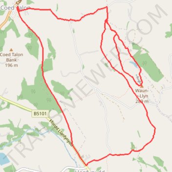
Waun-y-Llyn and Coed Talon Bank loop
- Distance: 5.4 mi
- Elevation gain: 669 ft
- Maximum elevation: 935 ft
- Elevation loss: 669 ft
- Minimum elevation: 456 ft
- Moving time: 1 h 49 m
- Moving speed: 3.0 mph
- Maximum speed: 3.7 mph
- Total time: 1 h 55 m
- Global speed: 2.8 mph
Interactive trail map
Trail profile
- Distance: 5.4 mi
- Elevation gain: 669 ft
- Maximum elevation: 935 ft
- Elevation loss: 669 ft
- Minimum elevation: 456 ft
- Moving time: 1 h 49 m
- Moving speed: 3.0 mph
- Maximum speed: 3.7 mph
- Total time: 1 h 55 m
- Global speed: 2.8 mph
About this trail
Name: Waun-y-Llyn and Coed Talon Bank loop trail, distance, elevation, map, profile, GPS track
Coordinates: 53.10415 -3.09404 53.12242 -3.06762