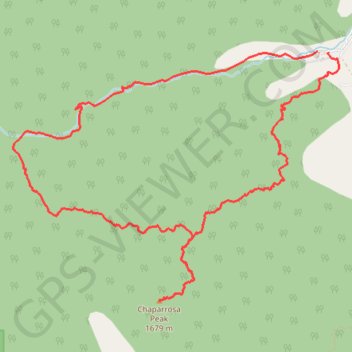
Chaparrosa Peak Loop
Interactive trail map
Trail profile
- Distance: 7.6 mi
- Elevation gain: 1,463 ft
- Maximum elevation: 5,535 ft
- Elevation loss: 1,453 ft
- Minimum elevation: 4,406 ft
About this trail
Name: Chaparrosa Peak Loop trail, distance, elevation, map, profile, GPS track
Start: Pipes Canyon Road, San Bernardino County, California, 92268, United States (34.17200 -116.54581)
End: Pipes Canyon Trail, San Bernardino County, California, 92268, United States (34.17207 -116.54701)
Coordinates: 34.14986 -116.57977 34.17207 -116.54465
Topography: San Bernardino County topographic map, elevation, terrain