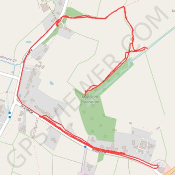
R SK400430
- Distance: 2.7 mi
- Elevation gain: 200 ft
- Maximum elevation: 358 ft
- Elevation loss: 184 ft
- Minimum elevation: 285 ft
- Moving time: 44 m 18 s
- Moving speed: 3.6 mph
- Maximum speed: 34.8 mph
- Total time: 1 h 25 m
- Global speed: 1.9 mph
Interactive trail map
Trail profile
- Distance: 2.7 mi
- Elevation gain: 200 ft
- Maximum elevation: 358 ft
- Elevation loss: 184 ft
- Minimum elevation: 285 ft
- Moving time: 44 m 18 s
- Moving speed: 3.6 mph
- Maximum speed: 34.8 mph
- Total time: 1 h 25 m
- Global speed: 1.9 mph
About this trail
Name: R SK400430 trail, distance, elevation, map, profile, GPS track
Coordinates: 52.98245 -1.41069 52.98856 -1.40186