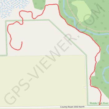
Middle Fork River County Forest Preserve
- Distance: 1.3 mi
- Elevation gain: 20 ft
- Maximum elevation: 722 ft
- Elevation loss: 30 ft
- Minimum elevation: 699 ft
- Moving time: 57 m 17 s
- Moving speed: 1.3 mph
- Maximum speed: 2.3 mph
- Total time: 1 h 8 m
- Global speed: 1.1 mph
Interactive trail map
Trail profile
- Distance: 1.3 mi
- Elevation gain: 20 ft
- Maximum elevation: 722 ft
- Elevation loss: 30 ft
- Minimum elevation: 699 ft
- Moving time: 57 m 17 s
- Moving speed: 1.3 mph
- Maximum speed: 2.3 mph
- Total time: 1 h 8 m
- Global speed: 1.1 mph
About this trail
Name: Middle Fork River County Forest Preserve trail, distance, elevation, map, profile, GPS track
Start: Point Pleasant Trail, Champaign County, Illinois, United States (40.36365 -87.96141)
End: Point Pleasant Trail, Champaign County, Illinois, United States (40.36810 -87.96855)
Coordinates: 40.36365 -87.96988 40.37075 -87.96120
Topography: Champaign County topographic map, elevation, terrain