Mount Conrad
- Distance: 22.6 mi
- Elevation gain: 6,339 ft
- Maximum elevation: 10,679 ft
- Elevation loss: 6,345 ft
- Minimum elevation: 5,135 ft
- Moving time: 11 h 39 m
- Moving speed: 1.9 mph
- Maximum speed: 31.1 mph
- Total time: 1 d 13 h
- Global speed: 0.6 mph
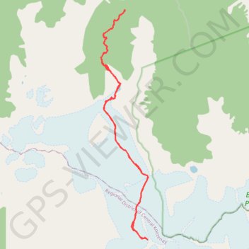
Interactive trail map
Trail profile
- Distance: 22.6 mi
- Elevation gain: 6,339 ft
- Maximum elevation: 10,679 ft
- Elevation loss: 6,345 ft
- Minimum elevation: 5,135 ft
- Moving time: 11 h 39 m
- Moving speed: 1.9 mph
- Maximum speed: 31.1 mph
- Total time: 1 d 13 h
- Global speed: 0.6 mph
About this trail
Name: Mount Conrad trail, distance, elevation, map, profile, GPS track
Coordinates: 50.77016 -116.93240 50.87355 -116.89874