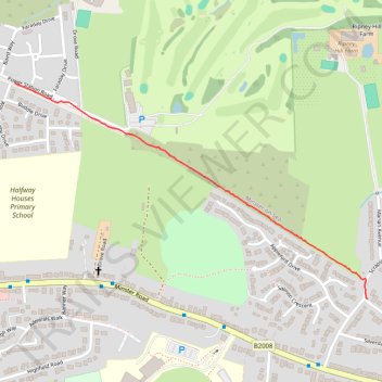
Sheppey Light Railway Greenway
- Distance: 0.7 mi
- Elevation gain: 20 ft
- Maximum elevation: 23 ft
- Elevation loss: 16 ft
- Minimum elevation: 7 ft
Interactive trail map
Trail profile
- Distance: 0.7 mi
- Elevation gain: 20 ft
- Maximum elevation: 23 ft
- Elevation loss: 16 ft
- Minimum elevation: 7 ft
About this trail
Name: Sheppey Light Railway Greenway trail, distance, elevation, map, profile, GPS track
Coordinates: 51.42183 0.77852 51.42675 0.79143