Loop walk - Mission
Canada, BC, Mission
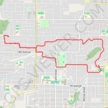
- Distance: 4.9 mi
- Elevation gain: 482 ft
- Maximum elevation: 482 ft
- Elevation loss: 486 ft
- Minimum elevation: 210 ft
- Moving time: 1 h 44 m
- Moving speed: 2.8 mph
- Maximum speed: 3.8 mph
- Total time: 1 h 51 m
- Global speed: 2.6 mph
Interactive trail map
Trail profile
- Distance: 4.9 mi
- Elevation gain: 482 ft
- Maximum elevation: 482 ft
- Elevation loss: 486 ft
- Minimum elevation: 210 ft
- Moving time: 1 h 44 m
- Moving speed: 2.8 mph
- Maximum speed: 3.8 mph
- Total time: 1 h 51 m
- Global speed: 2.6 mph
About this trail
Name: Loop walk - Mission trail, distance, elevation, map, profile, GPS track
Coordinates: 49.14276 -122.32709 49.15106 -122.29301
Other hiking, mountain biking, running and outdoor activity trails
Click on a trail to view its statistics, map and profile.