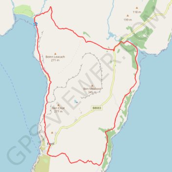
Elgol Halbinsel
- Distance: 11.3 mi
- Elevation gain: 1,791 ft
- Maximum elevation: 620 ft
- Elevation loss: 1,791 ft
- Minimum elevation: 7 ft
- Moving time: 5 h 33 m
- Moving speed: 2.0 mph
- Maximum speed: 3.8 mph
- Total time: 7 h 13 m
- Global speed: 1.6 mph
Interactive trail map
Trail profile
- Distance: 11.3 mi
- Elevation gain: 1,791 ft
- Maximum elevation: 620 ft
- Elevation loss: 1,791 ft
- Minimum elevation: 7 ft
- Moving time: 5 h 33 m
- Moving speed: 2.0 mph
- Maximum speed: 3.8 mph
- Total time: 7 h 13 m
- Global speed: 1.6 mph
About this trail
Name: Elgol Halbinsel trail, distance, elevation, map, profile, GPS track
Start: B8083, Kilmarie, Highland, Scotland, IV49 9AX, United Kingdom (57.17930 -6.06341)
End: B8083, Kilmarie, Highland, Scotland, IV49 9AX, United Kingdom (57.17929 -6.06340)
Coordinates: 57.14202 -6.11121 57.19378 -6.04901