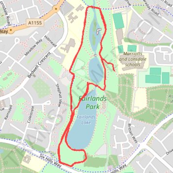
Fairlands Valley Park Loop
- Distance: 3.1 mi
- Elevation gain: 164 ft
- Maximum elevation: 381 ft
- Elevation loss: 138 ft
- Minimum elevation: 322 ft
- Moving time: 24 m 3 s
- Moving speed: 7.7 mph
- Maximum speed: 11.5 mph
- Total time: 24 m 3 s
- Global speed: 7.7 mph
Interactive trail map
Trail profile
- Distance: 3.1 mi
- Elevation gain: 164 ft
- Maximum elevation: 381 ft
- Elevation loss: 138 ft
- Minimum elevation: 322 ft
- Moving time: 24 m 3 s
- Moving speed: 7.7 mph
- Maximum speed: 11.5 mph
- Total time: 24 m 3 s
- Global speed: 7.7 mph
About this trail
Name: Fairlands Valley Park Loop trail, distance, elevation, map, profile, GPS track
Coordinates: 51.89785 -0.18269 51.90706 -0.17744