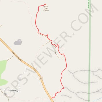
Garnet Peak
Interactive trail map
Trail profile
- Distance: 2.1 mi
- Elevation gain: 568 ft
- Maximum elevation: 5,823 ft
- Elevation loss: 230 ft
- Minimum elevation: 5,440 ft
About this trail
Name: Garnet Peak trail, distance, elevation, map, profile, GPS track
Start: 12027, Sunrise Highway, San Diego County, California, 91948, United States (32.90570 -116.45737)
End: Garnet Peak Trail, San Diego County, California, United States (32.92569 -116.45873)
Coordinates: 32.90570 -116.46130 32.92580 -116.45344
Topography: San Diego County topographic map, elevation, terrain
Other hiking, mountain biking, running and outdoor activity trails
Click on a trail to view its statistics, map and profile.
Epic Big Laguna Route
United States > California > San Diego County
Distance: 9.2 mi • Elevation gain: 1,122 ft • Maximum elevation: 6,204 ft