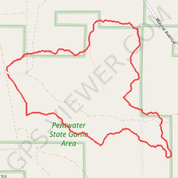
Very quiet rural mountain biking trail in Pentwater, MI
- Distance: 5.0 mi
- Elevation gain: 92 ft
- Maximum elevation: 676 ft
- Elevation loss: 92 ft
- Minimum elevation: 623 ft
Interactive trail map
Trail profile
- Distance: 5.0 mi
- Elevation gain: 92 ft
- Maximum elevation: 676 ft
- Elevation loss: 92 ft
- Minimum elevation: 623 ft
About this trail
Name: Very quiet rural mountain biking trail in Pentwater, MI trail, distance, elevation, map, profile, GPS track
Coordinates: 43.73834 -86.43210 43.75523 -86.40405
Topography: Oceana County topographic map, elevation, terrain