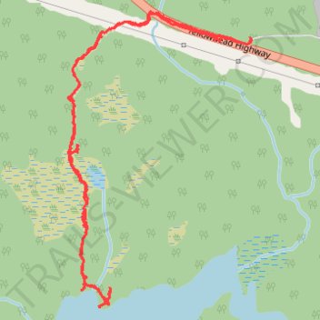
Tona Lake Trail
- Distance: 2.2 mi
- Elevation gain: 335 ft
- Maximum elevation: 427 ft
- Elevation loss: 328 ft
- Minimum elevation: 240 ft
- Moving time: 1 h 26 m
- Moving speed: 1.6 mph
- Maximum speed: 4.5 mph
- Total time: 2 h 4 m
- Global speed: 1.1 mph
Interactive trail map
Trail profile
- Distance: 2.2 mi
- Elevation gain: 335 ft
- Maximum elevation: 427 ft
- Elevation loss: 328 ft
- Minimum elevation: 240 ft
- Moving time: 1 h 26 m
- Moving speed: 1.6 mph
- Maximum speed: 4.5 mph
- Total time: 2 h 4 m
- Global speed: 1.1 mph
About this trail
Name: Tona Lake Trail trail, distance, elevation, map, profile, GPS track
Coordinates: 54.22488 -130.10302 54.23319 -130.09423
Other hiking, mountain biking, running and outdoor activity trails
Click on a trail to view its statistics, map and profile.