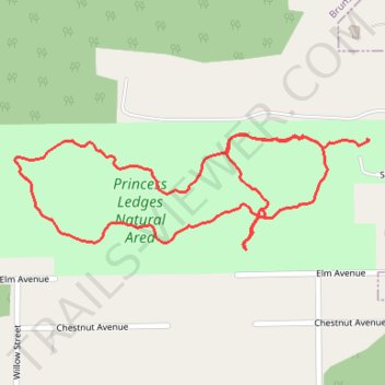
Princess Ledges Nature Reserve
- Distance: 1.3 mi
- Elevation gain: 154 ft
- Maximum elevation: 1,191 ft
- Elevation loss: 184 ft
- Minimum elevation: 1,060 ft
- Moving time: 26 m 41 s
- Moving speed: 3.0 mph
- Maximum speed: 5.0 mph
- Total time: 27 m 20 s
- Global speed: 3.0 mph
Interactive trail map
Trail profile
- Distance: 1.3 mi
- Elevation gain: 154 ft
- Maximum elevation: 1,191 ft
- Elevation loss: 184 ft
- Minimum elevation: 1,060 ft
- Moving time: 26 m 41 s
- Moving speed: 3.0 mph
- Maximum speed: 5.0 mph
- Total time: 27 m 20 s
- Global speed: 3.0 mph
About this trail
Name: Princess Ledges Nature Reserve trail, distance, elevation, map, profile, GPS track
Coordinates: 41.26369 -81.85040 41.26556 -81.84275
Topography: Medina County topographic map, elevation, terrain