Houlcomb Valley
- Distance: 2.9 mi
- Elevation gain: 95 ft
- Maximum elevation: 7,566 ft
- Elevation loss: 276 ft
- Minimum elevation: 7,346 ft
- Moving time: 1 h 11 m
- Moving speed: 2.4 mph
- Maximum speed: 20.9 mph
- Total time: 3 h 58 m
- Global speed: 0.7 mph
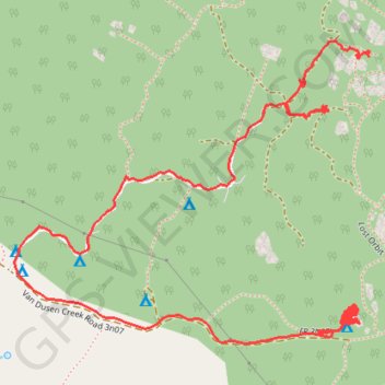
Interactive trail map
Trail profile
- Distance: 2.9 mi
- Elevation gain: 95 ft
- Maximum elevation: 7,566 ft
- Elevation loss: 276 ft
- Minimum elevation: 7,346 ft
- Moving time: 1 h 11 m
- Moving speed: 2.4 mph
- Maximum speed: 20.9 mph
- Total time: 3 h 58 m
- Global speed: 0.7 mph
About this trail
Name: Houlcomb Valley trail, distance, elevation, map, profile, GPS track
Coordinates: 34.30291 -116.88650 34.30869 -116.87827
Topography: San Bernardino County topographic map, elevation, terrain