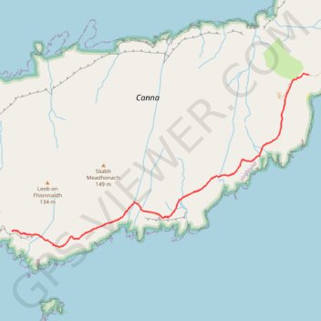
Canna Walk
- Distance: 2.5 mi
- Elevation gain: 673 ft
- Maximum elevation: 361 ft
- Elevation loss: 778 ft
- Minimum elevation: 62 ft
- Moving time: 58 m 47 s
- Moving speed: 2.6 mph
- Maximum speed: 3.9 mph
- Total time: 1 h 29 m
- Global speed: 1.7 mph
Interactive trail map
Trail profile
- Distance: 2.5 mi
- Elevation gain: 673 ft
- Maximum elevation: 361 ft
- Elevation loss: 778 ft
- Minimum elevation: 62 ft
- Moving time: 58 m 47 s
- Moving speed: 2.6 mph
- Maximum speed: 3.9 mph
- Total time: 1 h 29 m
- Global speed: 1.7 mph
About this trail
Name: Canna Walk trail, distance, elevation, map, profile, GPS track
Start: Highland, Scotland, United Kingdom (57.04517 -6.59900)
End: Creag a-Chairn, Tarbert, Highland, Scotland, PH44 4RS, United Kingdom (57.05860 -6.55216)
Coordinates: 57.04381 -6.59900 57.05867 -6.55216