Mountain Hero (Sam McGee) hike in Yukon Canada
- Distance: 2.9 mi
- Elevation gain: 2,113 ft
- Maximum elevation: 4,341 ft
- Elevation loss: 66 ft
- Minimum elevation: 2,257 ft
- Moving time: 1 h 35 m
- Moving speed: 1.8 mph
- Maximum speed: 5.8 mph
- Total time: 1 h 48 m
- Global speed: 1.6 mph
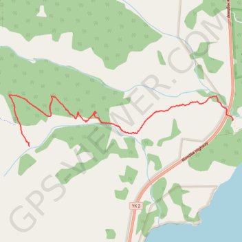
Interactive trail map
Trail profile
- Distance: 2.9 mi
- Elevation gain: 2,113 ft
- Maximum elevation: 4,341 ft
- Elevation loss: 66 ft
- Minimum elevation: 2,257 ft
- Moving time: 1 h 35 m
- Moving speed: 1.8 mph
- Maximum speed: 5.8 mph
- Total time: 1 h 48 m
- Global speed: 1.6 mph
About this trail
Name: Mountain Hero (Sam McGee) hike in Yukon Canada trail, distance, elevation, map, profile, GPS track
Start: Mountain Hero (Sam McGee) Trail, Conrad Road, Conrad, Yukon, Canada (60.05876 -134.57116)
End: Mountain Hero Overlook, Yukon, Canada (60.05607 -134.61340)
Coordinates: 60.05607 -134.61770 60.06143 -134.57111