Sunlight Leviathan Connector
Wilderness trek
- Distance: 5.0 mi
- Elevation gain: 1,850 ft
- Maximum elevation: 12,963 ft
- Elevation loss: 1,850 ft
- Minimum elevation: 11,890 ft
- Moving time: 4 h 16 m
- Moving speed: 1.2 mph
- Maximum speed: 2.5 mph
- Total time: 7 h 28 m
- Global speed: 0.7 mph
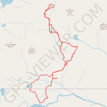
Interactive trail map
Trail profile
- Distance: 5.0 mi
- Elevation gain: 1,850 ft
- Maximum elevation: 12,963 ft
- Elevation loss: 1,850 ft
- Minimum elevation: 11,890 ft
- Moving time: 4 h 16 m
- Moving speed: 1.2 mph
- Maximum speed: 2.5 mph
- Total time: 7 h 28 m
- Global speed: 0.7 mph
About this trail
Name: Sunlight Leviathan Connector trail, distance, elevation, map, profile, GPS track
Start: Sunlight Lake Route, La Plata County, Colorado, United States (37.63461 -107.58156)
End: Sunlight Lake Route, La Plata County, Colorado, United States (37.63460 -107.58155)
Coordinates: 37.63453 -107.58447 37.65399 -107.57270
Topography: La Plata County topographic map, elevation, terrain