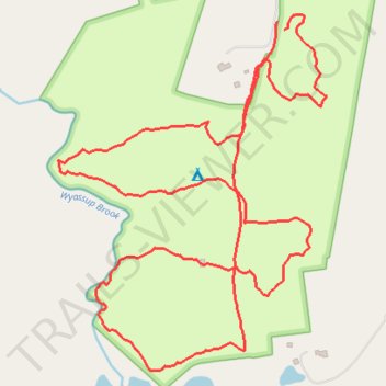
Tefftwald Preserve Trails
- Distance: 2.0 mi
- Elevation gain: 102 ft
- Maximum elevation: 230 ft
- Elevation loss: 102 ft
- Minimum elevation: 148 ft
- Moving time: 1 h 3 m
- Moving speed: 1.9 mph
- Maximum speed: 4.5 mph
- Total time: 1 h 18 m
- Global speed: 1.5 mph
Interactive trail map
Trail profile
- Distance: 2.0 mi
- Elevation gain: 102 ft
- Maximum elevation: 230 ft
- Elevation loss: 102 ft
- Minimum elevation: 148 ft
- Moving time: 1 h 3 m
- Moving speed: 1.9 mph
- Maximum speed: 4.5 mph
- Total time: 1 h 18 m
- Global speed: 1.5 mph
About this trail
Name: Tefftwald Preserve Trails trail, distance, elevation, map, profile, GPS track
Coordinates: 41.46611 -71.85254 41.47217 -71.84644
Topography: Southeastern Connecticut Planning Region topographic map, elevation, terrain