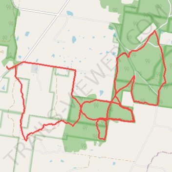
Pilchers Bridge Nature Conservation Reserve
- Distance: 16.2 mi
- Elevation gain: 922 ft
- Maximum elevation: 1,050 ft
- Elevation loss: 922 ft
- Minimum elevation: 804 ft
Interactive trail map
Trail profile
- Distance: 16.2 mi
- Elevation gain: 922 ft
- Maximum elevation: 1,050 ft
- Elevation loss: 922 ft
- Minimum elevation: 804 ft
About this trail
Name: Pilchers Bridge Nature Conservation Reserve trail, distance, elevation, map, profile, GPS track
Coordinates: -36.91996 144.35315 -36.88887 144.40939
Other hiking, mountain biking, running and outdoor activity trails
Click on a trail to view its statistics, map and profile.