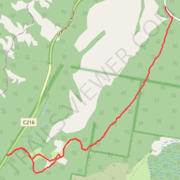
Grampians Peaks Trail - Yarram Gap South
- Distance: 9.6 mi
- Elevation gain: 1,978 ft
- Maximum elevation: 1,634 ft
- Elevation loss: 1,673 ft
- Minimum elevation: 879 ft
- Moving time: 2 h 46 m
- Moving speed: 3.5 mph
- Maximum speed: 9.2 mph
- Total time: 4 h 18 m
- Global speed: 2.2 mph
Interactive trail map
Trail profile
- Distance: 9.6 mi
- Elevation gain: 1,978 ft
- Maximum elevation: 1,634 ft
- Elevation loss: 1,673 ft
- Minimum elevation: 879 ft
- Moving time: 2 h 46 m
- Moving speed: 3.5 mph
- Maximum speed: 9.2 mph
- Total time: 4 h 18 m
- Global speed: 2.2 mph
About this trail
Name: Grampians Peaks Trail - Yarram Gap South trail, distance, elevation, map, profile, GPS track
Coordinates: -37.49091 142.42703 -37.44507 142.48451