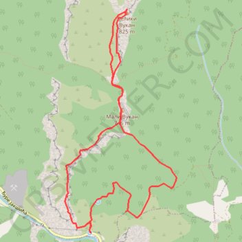
MALI I VELIKI VUKAN GREBENOM - Kružna tura od 4 lule
- Distance: 5.7 mi
- Elevation gain: 2,530 ft
- Maximum elevation: 2,654 ft
- Elevation loss: 2,533 ft
- Minimum elevation: 564 ft
- Moving time: 4 h 51 m
- Moving speed: 1.2 mph
- Maximum speed: 2.6 mph
- Total time: 8 h 23 m
- Global speed: 0.7 mph
Interactive trail map
Trail profile
- Distance: 5.7 mi
- Elevation gain: 2,530 ft
- Maximum elevation: 2,654 ft
- Elevation loss: 2,533 ft
- Minimum elevation: 564 ft
- Moving time: 4 h 51 m
- Moving speed: 1.2 mph
- Maximum speed: 2.6 mph
- Total time: 8 h 23 m
- Global speed: 0.7 mph
About this trail
Name: MALI I VELIKI VUKAN GREBENOM - Kružna tura od 4 lule trail, distance, elevation, map, profile, GPS track
Coordinates: 44.27399 21.52850 44.29925 21.54606
Other hiking, mountain biking, running and outdoor activity trails
Click on a trail to view its statistics, map and profile.
2022_Yu
Slovenia > Ajdovščina > Žapuže
Distance: 1,526.9 mi • Elevation gain: 105,144 ft • Maximum elevation: 6,398 ft