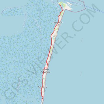
E5_Isole_di_Venezia(1)
- Distance: 5.5 mi
- Elevation gain: 59 ft
- Maximum elevation: 13 ft
- Elevation loss: 59 ft
- Minimum elevation: -13 ft
Interactive trail map
Trail profile
- Distance: 5.5 mi
- Elevation gain: 59 ft
- Maximum elevation: 13 ft
- Elevation loss: 59 ft
- Minimum elevation: -13 ft
About this trail
Name: E5_Isole_di_Venezia(1) trail, distance, elevation, map, profile, GPS track
End: Lido-Pellestrina, Pellestrina, Venice, Venezia, Veneto, Italy (45.26273 12.30009)
Coordinates: 45.26269 12.29964 45.33264 12.32167