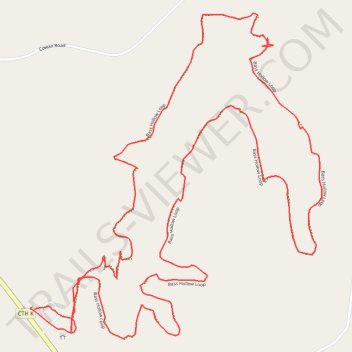
Bass Hollow Loop
- Distance: 3.9 mi
- Elevation gain: 545 ft
- Maximum elevation: 1,280 ft
- Elevation loss: 545 ft
- Minimum elevation: 1,040 ft
- Moving time: 1 h 17 m
- Moving speed: 3.0 mph
- Maximum speed: 14.8 mph
- Total time: 1 h 25 m
- Global speed: 2.7 mph
Interactive trail map
Trail profile
- Distance: 3.9 mi
- Elevation gain: 545 ft
- Maximum elevation: 1,280 ft
- Elevation loss: 545 ft
- Minimum elevation: 1,040 ft
- Moving time: 1 h 17 m
- Moving speed: 3.0 mph
- Maximum speed: 14.8 mph
- Total time: 1 h 25 m
- Global speed: 2.7 mph
About this trail
Name: Bass Hollow Loop trail, distance, elevation, map, profile, GPS track
Start: Town of Seven Mile Creek, Juneau County, Wisconsin, United States (43.67240 -90.03231)
End: Town of Seven Mile Creek, Juneau County, Wisconsin, United States (43.67250 -90.03239)
Coordinates: 43.67152 -90.03250 43.68145 -90.02018
Topography: Town of Seven Mile Creek topographic map, elevation, terrain