Condor Peak
Interactive trail map
Trail profile
- Distance: 7.5 mi
- Elevation gain: 4,944 ft
- Maximum elevation: 5,374 ft
- Elevation loss: 1,611 ft
- Minimum elevation: 2,037 ft
About this trail
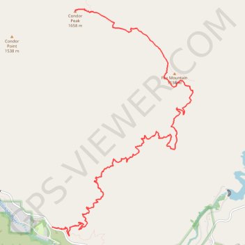
Name: Condor Peak trail, distance, elevation, map, profile, GPS track
Start: Big Tujunga Canyon Road, Los Angeles County, California, United States (34.28765 -118.22487)
End: Condor Peak Trail, Los Angeles County, California, United States (34.32525 -118.21998)
Coordinates: 34.28617 -118.22487 34.32558 -118.19517
Topography: Los Angeles County topographic map, elevation, terrain