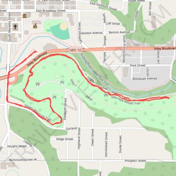
Siloam Mountain Trail, Fishing River and Isley Park Woods Trail
- Distance: 2.6 mi
- Elevation gain: 217 ft
- Maximum elevation: 889 ft
- Elevation loss: 213 ft
- Minimum elevation: 787 ft
- Moving time: 52 m 29 s
- Moving speed: 3.0 mph
- Maximum speed: 4.3 mph
- Total time: 53 m 1 s
- Global speed: 2.9 mph
Interactive trail map
Trail profile
- Distance: 2.6 mi
- Elevation gain: 217 ft
- Maximum elevation: 889 ft
- Elevation loss: 213 ft
- Minimum elevation: 787 ft
- Moving time: 52 m 29 s
- Moving speed: 3.0 mph
- Maximum speed: 4.3 mph
- Total time: 53 m 1 s
- Global speed: 2.9 mph
About this trail
Name: Siloam Mountain Trail, Fishing River and Isley Park Woods Trail trail, distance, elevation, map, profile, GPS track
Coordinates: 39.33659 -94.22420 39.34027 -94.21362
Topography: Clay County topographic map, elevation, terrain