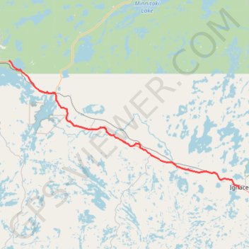
Import a GPX file

Dryden - Ignace

#Bike #Dryden #Ignace

  • Distance: 60.8 mi
  • Elevation gain: 1,742 ft
  • Maximum elevation: 1,519 ft
  • Elevation loss: 1,529 ft
  • Minimum elevation: 1,217 ft

Interactive trail map

Trail profile

  • Distance: 60.8 mi
  • Elevation gain: 1,742 ft
  • Maximum elevation: 1,519 ft
  • Elevation loss: 1,529 ft
  • Minimum elevation: 1,217 ft

About this trail

Gear up for your next adventure:

🔦Compact Flashlight - Reliable flashlight for emergencies
🗺️NatGeo Topo Maps - High-quality waterproof printed topographic maps of US Parks
🔦Powerful Headlamps - Ultra-bright hands-free lighting for night navigation
🌡️Portable Weather Meter - Track weather conditions on the trail
🔪Outdoor Multitools - Essential survival tools for gear repair and field use

As an Amazon Associate, this site earns from qualifying purchases at no extra cost to you.