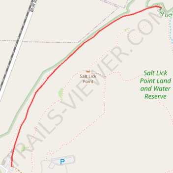
Johnson trail
- Distance: 1.3 mi
- Elevation gain: 115 ft
- Maximum elevation: 456 ft
- Elevation loss: 75 ft
- Minimum elevation: 407 ft
- Moving time: 1 h 13 m
- Moving speed: 1.0 mph
- Maximum speed: 0.2 mph
- Total time: 5 h 5 m
- Global speed: 0.2 mph
Interactive trail map
Trail profile
- Distance: 1.3 mi
- Elevation gain: 115 ft
- Maximum elevation: 456 ft
- Elevation loss: 75 ft
- Minimum elevation: 407 ft
- Moving time: 1 h 13 m
- Moving speed: 1.0 mph
- Maximum speed: 0.2 mph
- Total time: 5 h 5 m
- Global speed: 0.2 mph
About this trail
Name: Johnson trail trail, distance, elevation, map, profile, GPS track
Start: Quarry Road, Valmeyer, Monroe County, Illinois, 62295, United States (38.30252 -90.30883)
Coordinates: 38.30252 -90.30883 38.31489 -90.29409
Topography: Monroe County topographic map, elevation, terrain