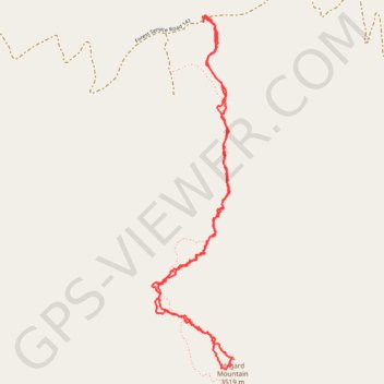
Hilgard Mountain Hiking
- Distance: 3.9 mi
- Elevation gain: 1,411 ft
- Maximum elevation: 11,522 ft
- Elevation loss: 1,414 ft
- Minimum elevation: 10,148 ft
- Moving time: 2 h 33 m
- Moving speed: 1.5 mph
- Maximum speed: 23.4 mph
- Total time: 4 h 27 m
- Global speed: 0.9 mph
Interactive trail map
Trail profile
- Distance: 3.9 mi
- Elevation gain: 1,411 ft
- Maximum elevation: 11,522 ft
- Elevation loss: 1,414 ft
- Minimum elevation: 10,148 ft
- Moving time: 2 h 33 m
- Moving speed: 1.5 mph
- Maximum speed: 23.4 mph
- Total time: 4 h 27 m
- Global speed: 0.9 mph
About this trail
Name: Hilgard Mountain Hiking trail, distance, elevation, map, profile, GPS track
Start: Forest Service Road 141, Sevier County, Utah, United States (38.70051 -111.54562)
End: Forest Service Road 141, Sevier County, Utah, United States (38.70077 -111.54568)
Coordinates: 38.68355 -111.54882 38.70090 -111.54384
Topography: Sevier County topographic map, elevation, terrain