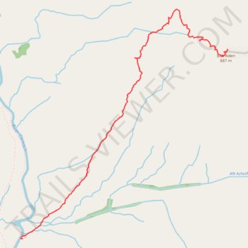
Ben Aden from the South - Uphill
- Distance: 1.9 mi
- Elevation gain: 2,792 ft
- Maximum elevation: 2,874 ft
- Elevation loss: 10 ft
- Minimum elevation: 82 ft
- Moving time: 1 h 41 m
- Moving speed: 1.1 mph
- Maximum speed: 3.2 mph
- Total time: 3 h 26 m
- Global speed: 0.5 mph
Interactive trail map
Trail profile
- Distance: 1.9 mi
- Elevation gain: 2,792 ft
- Maximum elevation: 2,874 ft
- Elevation loss: 10 ft
- Minimum elevation: 82 ft
- Moving time: 1 h 41 m
- Moving speed: 1.1 mph
- Maximum speed: 3.2 mph
- Total time: 3 h 26 m
- Global speed: 0.5 mph
About this trail
Name: Ben Aden from the South - Uphill trail, distance, elevation, map, profile, GPS track
Start: Highland, Scotland, United Kingdom (57.01986 -5.48509)
End: Coire na Leac, Highland, Scotland, United Kingdom (57.03085 -5.46331)
Coordinates: 57.01986 -5.48534 57.03315 -5.46329