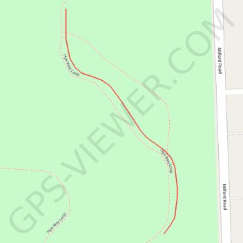
Trails in Highland Oaks County Park in Highland Township, MI
- Distance: 0.1 mi
- Elevation gain: 7 ft
- Maximum elevation: 1,027 ft
- Elevation loss: 7 ft
- Minimum elevation: 1,020 ft
- Moving time: 2 m
- Moving speed: 3.1 mph
- Maximum speed: 3.7 mph
- Total time: 2 m
- Global speed: 3.1 mph
Interactive trail map
Trail profile
- Distance: 0.1 mi
- Elevation gain: 7 ft
- Maximum elevation: 1,027 ft
- Elevation loss: 7 ft
- Minimum elevation: 1,020 ft
- Moving time: 2 m
- Moving speed: 3.1 mph
- Maximum speed: 3.7 mph
- Total time: 2 m
- Global speed: 3.1 mph
About this trail
Name: Trails in Highland Oaks County Park in Highland Township, MI trail, distance, elevation, map, profile, GPS track
Coordinates: 42.69414 -83.60693 42.69537 -83.60610
Topography: Oakland County topographic map, elevation, terrain