Bellfield > Sundial > Rosea
- Distance: 15.9 mi
- Elevation gain: 3,428 ft
- Maximum elevation: 3,241 ft
- Elevation loss: 3,428 ft
- Minimum elevation: 919 ft
- Moving time: 3 h 39 m
- Moving speed: 4.4 mph
- Maximum speed: 9.9 mph
- Total time: 4 h 7 m
- Global speed: 3.9 mph
Interactive trail map
Trail profile
- Distance: 15.9 mi
- Elevation gain: 3,428 ft
- Maximum elevation: 3,241 ft
- Elevation loss: 3,428 ft
- Minimum elevation: 919 ft
- Moving time: 3 h 39 m
- Moving speed: 4.4 mph
- Maximum speed: 9.9 mph
- Total time: 4 h 7 m
- Global speed: 3.9 mph
About this trail
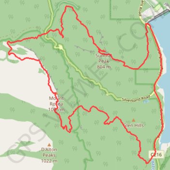
Name: Bellfield > Sundial > Rosea trail, distance, elevation, map, profile, GPS track
Coordinates: -37.21731 142.48882 -37.17189 142.54509
Other hiking, mountain biking, running and outdoor activity trails
Click on a trail to view its statistics, map and profile.
Halls Gap, The Pinnacle, Mount Rosea and Bellfield Lake loop
Australia > Victoria > Halls Gap
Distance: 18.9 mi • Elevation gain: 3,668 ft • Maximum elevation: 3,241 ft
Splitters Falls, Grand Canyon, Pinnacle, Sundial loop
Australia > Victoria > Halls Gap
Distance: 11.7 mi • Elevation gain: 2,316 ft • Maximum elevation: 2,536 ft