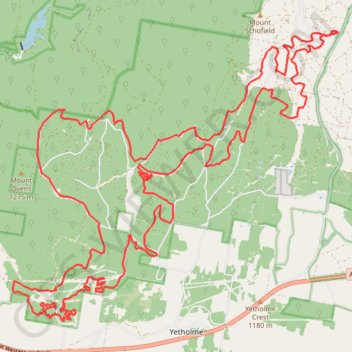
2015-09-13 08:28:08
- Distance: 30.0 mi
- Elevation gain: 4,823 ft
- Maximum elevation: 4,186 ft
- Elevation loss: 4,820 ft
- Minimum elevation: 3,179 ft
Interactive trail map
Trail profile
- Distance: 30.0 mi
- Elevation gain: 4,823 ft
- Maximum elevation: 4,186 ft
- Elevation loss: 4,820 ft
- Minimum elevation: 3,179 ft
About this trail
Name: 2015-09-13 08:28:08 trail, distance, elevation, map, profile, GPS track
Coordinates: -33.44623 149.77516 -33.38638 149.85550