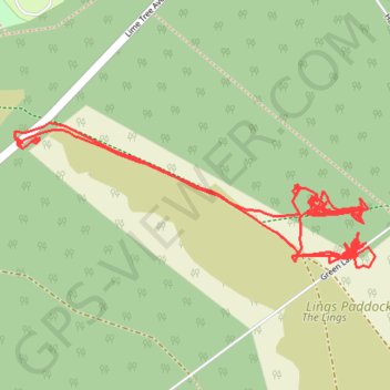
RE SK630760
- Distance: 2.1 mi
- Elevation gain: 66 ft
- Maximum elevation: 157 ft
- Elevation loss: 66 ft
- Minimum elevation: 131 ft
- Moving time: 1 h 9 m
- Moving speed: 1.8 mph
- Maximum speed: 3.7 mph
- Total time: 4 h 11 m
- Global speed: 0.5 mph
Interactive trail map
Trail profile
- Distance: 2.1 mi
- Elevation gain: 66 ft
- Maximum elevation: 157 ft
- Elevation loss: 66 ft
- Minimum elevation: 131 ft
- Moving time: 1 h 9 m
- Moving speed: 1.8 mph
- Maximum speed: 3.7 mph
- Total time: 4 h 11 m
- Global speed: 0.5 mph
About this trail
Name: RE SK630760 trail, distance, elevation, map, profile, GPS track
Coordinates: 53.27707 -1.06340 53.27914 -1.05479