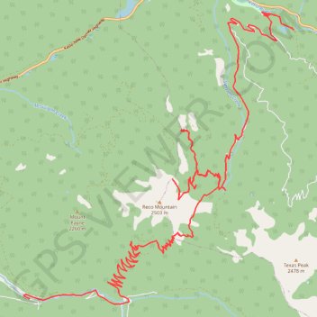
Reco Mountain
- Distance: 22.3 mi
- Elevation gain: 7,320 ft
- Maximum elevation: 7,595 ft
- Elevation loss: 7,090 ft
- Minimum elevation: 3,232 ft
- Moving time: 2 h 2 m
- Moving speed: 10.9 mph
- Maximum speed: 35.4 mph
- Total time: 4 h 13 m
- Global speed: 5.3 mph
Interactive trail map
Trail profile
- Distance: 22.3 mi
- Elevation gain: 7,320 ft
- Maximum elevation: 7,595 ft
- Elevation loss: 7,090 ft
- Minimum elevation: 3,232 ft
- Moving time: 2 h 2 m
- Moving speed: 10.9 mph
- Maximum speed: 35.4 mph
- Total time: 4 h 13 m
- Global speed: 5.3 mph
About this trail
Name: Reco Mountain trail, distance, elevation, map, profile, GPS track
Coordinates: 49.97452 -117.23198 50.04066 -117.13713
Other hiking, mountain biking, running and outdoor activity trails
Click on a trail to view its statistics, map and profile.