Nez Perce Lake Trail
- Distance: 5.8 mi
- Elevation gain: 1,900 ft
- Maximum elevation: 8,921 ft
- Elevation loss: 2,054 ft
- Minimum elevation: 6,965 ft
- Moving time: 2 h 59 m
- Moving speed: 1.9 mph
- Maximum speed: 8.5 mph
- Total time: 4 h 17 m
- Global speed: 1.4 mph
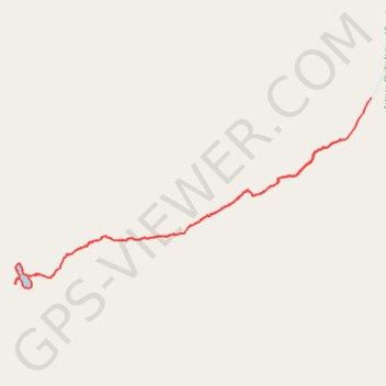
Interactive trail map
Trail profile
- Distance: 5.8 mi
- Elevation gain: 1,900 ft
- Maximum elevation: 8,921 ft
- Elevation loss: 2,054 ft
- Minimum elevation: 6,965 ft
- Moving time: 2 h 59 m
- Moving speed: 1.9 mph
- Maximum speed: 8.5 mph
- Total time: 4 h 17 m
- Global speed: 1.4 mph
About this trail
Name: Nez Perce Lake Trail trail, distance, elevation, map, profile, GPS track
Start: National Forest Development Road 212, Lemhi County, Idaho, United States (44.52183 -113.35123)
End: National Forest Development Road 212, Lemhi County, Idaho, United States (44.52562 -113.34728)
Coordinates: 44.50867 -113.39175 44.52562 -113.34728
Topography: Lemhi County topographic map, elevation, terrain