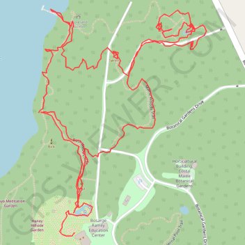
Coastal Maine Botanical Gardens
- Distance: 2.1 mi
- Elevation gain: 243 ft
- Maximum elevation: 102 ft
- Elevation loss: 164 ft
- Minimum elevation: 0 ft
- Moving time: 1 h 3 m
- Moving speed: 2.0 mph
- Maximum speed: 4.5 mph
- Total time: 1 h 17 m
- Global speed: 1.6 mph
Interactive trail map
Trail profile
- Distance: 2.1 mi
- Elevation gain: 243 ft
- Maximum elevation: 102 ft
- Elevation loss: 164 ft
- Minimum elevation: 0 ft
- Moving time: 1 h 3 m
- Moving speed: 2.0 mph
- Maximum speed: 4.5 mph
- Total time: 1 h 17 m
- Global speed: 1.6 mph
About this trail
Name: Coastal Maine Botanical Gardens trail, distance, elevation, map, profile, GPS track
Coordinates: 43.87361 -69.66329 43.87829 -69.65850
Topography: Lincoln County topographic map, elevation, terrain