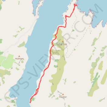
Pigeon Bay Walkway - Whitehead Bay
- Distance: 9.8 mi
- Elevation gain: 1,604 ft
- Maximum elevation: 472 ft
- Elevation loss: 1,594 ft
- Minimum elevation: 3 ft
Interactive trail map
Trail profile
- Distance: 9.8 mi
- Elevation gain: 1,604 ft
- Maximum elevation: 472 ft
- Elevation loss: 1,594 ft
- Minimum elevation: 3 ft
About this trail
Name: Pigeon Bay Walkway - Whitehead Bay trail, distance, elevation, map, profile, GPS track
Coordinates: -43.67858 172.90074 -43.62611 172.93525
Other hiking, mountain biking, running and outdoor activity trails
Click on a trail to view its statistics, map and profile.
Banks Peninsula Gravel Loop Ride
New Zealand > Canterbury > Christchurch City > Banks Peninsula Community > Duvauchelle
Distance: 28.7 mi • Elevation gain: 5,413 ft • Maximum elevation: 1,772 ft