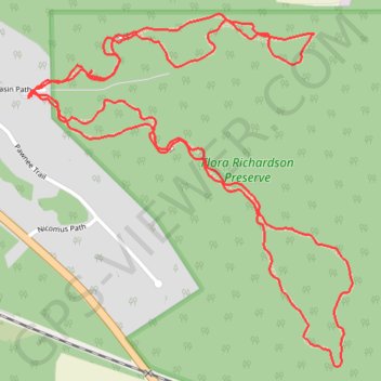
Flora Richardson Preserve
- Distance: 2.6 mi
- Elevation gain: 59 ft
- Maximum elevation: 722 ft
- Elevation loss: 59 ft
- Minimum elevation: 679 ft
Interactive trail map
Trail profile
- Distance: 2.6 mi
- Elevation gain: 59 ft
- Maximum elevation: 722 ft
- Elevation loss: 59 ft
- Minimum elevation: 679 ft
About this trail
Name: Flora Richardson Preserve trail, distance, elevation, map, profile, GPS track
Start: Moccasin Path, LaPorte County, Indiana, United States (41.68510 -86.79128)
End: Moccasin Path, LaPorte County, Indiana, United States (41.68508 -86.79134)
Coordinates: 41.67989 -86.79134 41.68670 -86.78296
Topography: LaPorte County topographic map, elevation, terrain