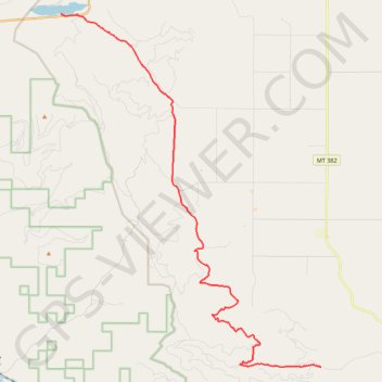
Perma to Rainbow Lake
- Distance: 17.5 mi
- Elevation gain: 2,208 ft
- Maximum elevation: 4,347 ft
- Elevation loss: 1,857 ft
- Minimum elevation: 3,064 ft
- Moving time: 2 h 8 m
- Moving speed: 8.1 mph
- Maximum speed: 23.4 mph
- Total time: 2 h 25 m
- Global speed: 7.2 mph
Interactive trail map
Trail profile
- Distance: 17.5 mi
- Elevation gain: 2,208 ft
- Maximum elevation: 4,347 ft
- Elevation loss: 1,857 ft
- Minimum elevation: 3,064 ft
- Moving time: 2 h 8 m
- Moving speed: 8.1 mph
- Maximum speed: 23.4 mph
- Total time: 2 h 25 m
- Global speed: 7.2 mph
About this trail
Name: Perma to Rainbow Lake trail, distance, elevation, map, profile, GPS track
Start: Camas 1000, Sanders County, Montana, United States (47.38502 -114.60908)
End: Rainbow Lake Campground, MT 28, Sanders County, Montana, United States (47.52349 -114.75983)
Coordinates: 47.38502 -114.75983 47.52349 -114.60908
Topography: Sanders County topographic map, elevation, terrain