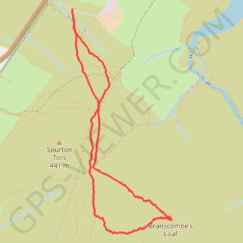
Branscombe Loaf
- Distance: 3.4 mi
- Elevation gain: 794 ft
- Maximum elevation: 1,755 ft
- Elevation loss: 801 ft
- Minimum elevation: 951 ft
- Moving time: 1 h 33 m
- Moving speed: 2.2 mph
- Maximum speed: 3.9 mph
- Total time: 1 h 55 m
- Global speed: 1.8 mph
Interactive trail map
Trail profile
- Distance: 3.4 mi
- Elevation gain: 794 ft
- Maximum elevation: 1,755 ft
- Elevation loss: 801 ft
- Minimum elevation: 951 ft
- Moving time: 1 h 33 m
- Moving speed: 2.2 mph
- Maximum speed: 3.9 mph
- Total time: 1 h 55 m
- Global speed: 1.8 mph
About this trail
Name: Branscombe Loaf trail, distance, elevation, map, profile, GPS track
Coordinates: 50.68247 -4.06216 50.70062 -4.04953