Bung Crag Pagoda Environs
- Distance: 1.3 mi
- Elevation gain: 26 ft
- Maximum elevation: 3,648 ft
- Elevation loss: 413 ft
- Minimum elevation: 3,245 ft
Interactive trail map
Trail profile
- Distance: 1.3 mi
- Elevation gain: 26 ft
- Maximum elevation: 3,648 ft
- Elevation loss: 413 ft
- Minimum elevation: 3,245 ft
About this trail
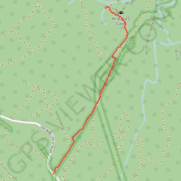
Name: Bung Crag Pagoda Environs trail, distance, elevation, map, profile, GPS track
Coordinates: -33.43511 150.22653 -33.42033 150.23442