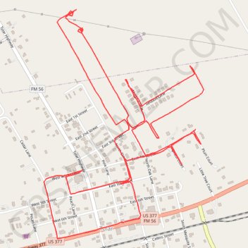
Tolar Walking
- Distance: 4.2 mi
- Elevation gain: 75 ft
- Maximum elevation: 1,073 ft
- Elevation loss: 75 ft
- Minimum elevation: 1,020 ft
- Moving time: 1 h 34 m
- Moving speed: 2.7 mph
- Maximum speed: 3.4 mph
- Total time: 1 h 39 m
- Global speed: 2.5 mph
Interactive trail map
Trail profile
- Distance: 4.2 mi
- Elevation gain: 75 ft
- Maximum elevation: 1,073 ft
- Elevation loss: 75 ft
- Minimum elevation: 1,020 ft
- Moving time: 1 h 34 m
- Moving speed: 2.7 mph
- Maximum speed: 3.4 mph
- Total time: 1 h 39 m
- Global speed: 2.5 mph
About this trail
Name: Tolar Walking trail, distance, elevation, map, profile, GPS track
Coordinates: 32.38855 -97.92395 32.39903 -97.91530
Topography: Hood County topographic map, elevation, terrain