Saddlers Road to Tesco Extra
- Distance: 0.3 mi
- Elevation gain: 16 ft
- Maximum elevation: 66 ft
- Elevation loss: 7 ft
- Minimum elevation: 49 ft
Interactive trail map
Trail profile
- Distance: 0.3 mi
- Elevation gain: 16 ft
- Maximum elevation: 66 ft
- Elevation loss: 7 ft
- Minimum elevation: 49 ft
About this trail
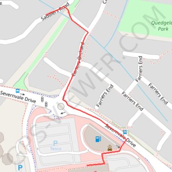
Name: Saddlers Road to Tesco Extra trail, distance, elevation, map, profile, GPS track
Coordinates: 51.82774 -2.28066 51.83020 -2.27865
Other hiking, mountain biking, running and outdoor activity trails
Click on a trail to view its statistics, map and profile.
Dean2023-311
United Kingdom > England > Oxfordshire > Oxford
Distance: 192.8 mi • Elevation gain: 11,043 ft • Maximum elevation: 951 ft