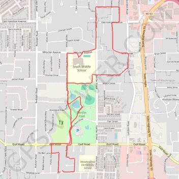
Eau Claire Running via Fairfax Park
- Distance: 4.4 mi
- Elevation gain: 207 ft
- Maximum elevation: 968 ft
- Elevation loss: 203 ft
- Minimum elevation: 866 ft
- Moving time: 45 m 55 s
- Moving speed: 5.8 mph
- Maximum speed: 7.7 mph
- Total time: 48 m 44 s
- Global speed: 5.5 mph
Interactive trail map
Trail profile
- Distance: 4.4 mi
- Elevation gain: 207 ft
- Maximum elevation: 968 ft
- Elevation loss: 203 ft
- Minimum elevation: 866 ft
- Moving time: 45 m 55 s
- Moving speed: 5.8 mph
- Maximum speed: 7.7 mph
- Total time: 48 m 44 s
- Global speed: 5.5 mph
About this trail
Name: Eau Claire Running via Fairfax Park trail, distance, elevation, map, profile, GPS track
Coordinates: 44.76780 -91.47596 44.78742 -91.46297
Topography: Eau Claire topographic map, elevation, terrain