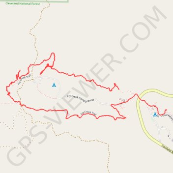
Palomar Fry Creek Trail
- Distance: 2.4 mi
- Elevation gain: 377 ft
- Maximum elevation: 5,259 ft
- Elevation loss: 463 ft
- Minimum elevation: 4,869 ft
- Moving time: 1 h 21 m
- Moving speed: 1.8 mph
- Maximum speed: 7.7 mph
- Total time: 2 h 13 m
- Global speed: 1.1 mph
Interactive trail map
Trail profile
- Distance: 2.4 mi
- Elevation gain: 377 ft
- Maximum elevation: 5,259 ft
- Elevation loss: 463 ft
- Minimum elevation: 4,869 ft
- Moving time: 1 h 21 m
- Moving speed: 1.8 mph
- Maximum speed: 7.7 mph
- Total time: 2 h 13 m
- Global speed: 1.1 mph
About this trail
Name: Palomar Fry Creek Trail trail, distance, elevation, map, profile, GPS track
Start: Fry Creek Trail, San Diego County, California, 92060, United States (33.34497 -116.88163)
End: 25R, San Diego County, California, 92060, United States (33.34370 -116.87804)
Coordinates: 33.34306 -116.89007 33.34726 -116.87804
Topography: San Diego County topographic map, elevation, terrain