Current Track: 12 FEB 2016 09:07
- Distance: 17.4 mi
- Elevation gain: 5,358 ft
- Maximum elevation: 2,635 ft
- Elevation loss: 4,764 ft
- Minimum elevation: 36 ft
- Moving time: 4 h 58 m
- Moving speed: 3.5 mph
- Maximum speed: 40.2 mph
- Total time: 7 h 31 m
- Global speed: 2.3 mph
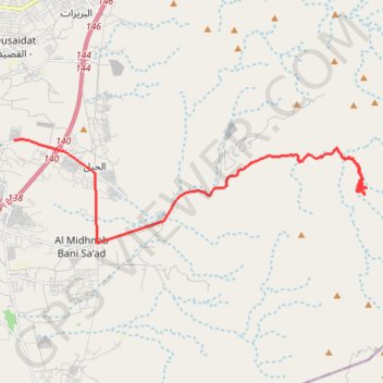
Interactive trail map
Trail profile
- Distance: 17.4 mi
- Elevation gain: 5,358 ft
- Maximum elevation: 2,635 ft
- Elevation loss: 4,764 ft
- Minimum elevation: 36 ft
- Moving time: 4 h 58 m
- Moving speed: 3.5 mph
- Maximum speed: 40.2 mph
- Total time: 7 h 31 m
- Global speed: 2.3 mph
About this trail
Name: Current Track: 12 FEB 2016 09:07 trail, distance, elevation, map, profile, GPS track
Start: Khuzam, Ras al-Khaimah, United Arab Emirates (25.72024 55.99070)
End: Shairi Hiking Trail, Al Yafnah, Ras al-Khaimah, United Arab Emirates (25.71665 56.11017)
Coordinates: 25.68547 55.99070 25.72037 56.12306