Le Jeune Lake
Interactive trail map
Trail profile
- Distance: 7.7 mi
- Elevation gain: 489 ft
- Maximum elevation: 4,311 ft
- Elevation loss: 479 ft
- Minimum elevation: 4,193 ft
About this trail
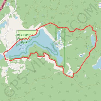
Name: Le Jeune Lake trail, distance, elevation, map, profile, GPS track
Coordinates: 50.46789 -120.49775 50.49003 -120.43878
Other hiking, mountain biking, running and outdoor activity trails
Click on a trail to view its statistics, map and profile.