Boonah Circuit
Interactive trail map
Trail profile
- Distance: 4.0 mi
- Elevation gain: 374 ft
- Maximum elevation: 499 ft
- Elevation loss: 367 ft
- Minimum elevation: 302 ft
About this trail
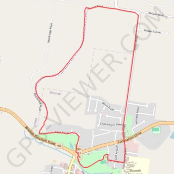
Name: Boonah Circuit trail, distance, elevation, map, profile, GPS track
Coordinates: -27.99535 152.67731 -27.97641 152.69100