The Greene Commons & Sugarberry Park
Evening Walk
- Distance: 1.6 mi
- Elevation gain: 39 ft
- Maximum elevation: 741 ft
- Elevation loss: 39 ft
- Minimum elevation: 702 ft
- Moving time: 36 m 17 s
- Moving speed: 2.7 mph
- Maximum speed: 4.0 mph
- Total time: 44 m 3 s
- Global speed: 2.2 mph
Interactive trail map
Trail profile
- Distance: 1.6 mi
- Elevation gain: 39 ft
- Maximum elevation: 741 ft
- Elevation loss: 39 ft
- Minimum elevation: 702 ft
- Moving time: 36 m 17 s
- Moving speed: 2.7 mph
- Maximum speed: 4.0 mph
- Total time: 44 m 3 s
- Global speed: 2.2 mph
About this trail
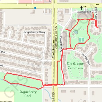
Name: The Greene Commons & Sugarberry Park trail, distance, elevation, map, profile, GPS track
Coordinates: 32.64191 -96.94666 32.64677 -96.93960
Topography: Dallas County topographic map, elevation, terrain