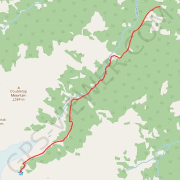
Bill Putnam Hut
- Distance: 12.3 mi
- Elevation gain: 4,157 ft
- Maximum elevation: 6,617 ft
- Elevation loss: 4,140 ft
- Minimum elevation: 3,291 ft
- Moving time: 6 h 24 m
- Moving speed: 1.9 mph
- Maximum speed: 4.3 mph
- Total time: 20 h 26 m
- Global speed: 0.6 mph
Interactive trail map
Trail profile
- Distance: 12.3 mi
- Elevation gain: 4,157 ft
- Maximum elevation: 6,617 ft
- Elevation loss: 4,140 ft
- Minimum elevation: 3,291 ft
- Moving time: 6 h 24 m
- Moving speed: 1.9 mph
- Maximum speed: 4.3 mph
- Total time: 20 h 26 m
- Global speed: 0.6 mph
About this trail
Name: Bill Putnam Hut trail, distance, elevation, map, profile, GPS track
Coordinates: 51.76563 -117.87873 51.81764 -117.80806